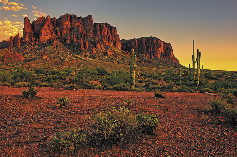
Imagine seeing your favorite Arizona state park or trail before you head out, giving you the chance to perfectly plan your hike or view your campsite. Arizona State Parks and Trails partnered with Google in early 2019 to make that happen.
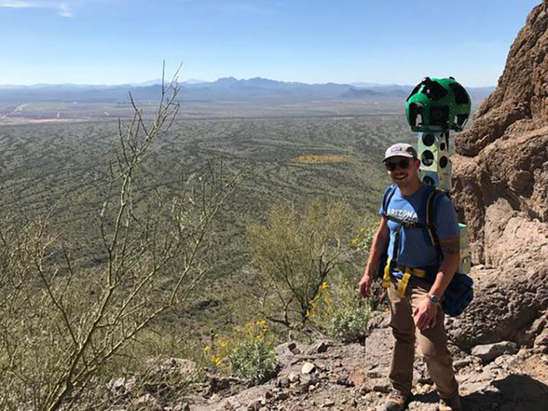
Arizona State Parks and Trails staff used the Google R7 Trekker Camera to capture 360 views of all state parks and more than 175 miles of trails in and connecting to the state parks across Arizona. The data is now live on Google Earth and Google Maps, enabling visitors to see trail conditions and plan the perfect hiking adventure or preview the beauty of a park before planning a weekend adventure. Use of the camera was free after Parks submitted a request and detailed information about which trails would be documented.
Over six weeks, staff hiked more than 200 miles carrying the Trekker, which weighs 45 pounds and includes 15 individual lenses to capture a 360-degree view of each trail and park. The data will help visitors understand the difficulty of trails, topography, and what to expect to see along the route, as well as the accessibility of the trail and the layout of the park. The project also had the added value of identifying any trails in need of maintenance or repair in the park system.
Google has now processed and uploaded this park data to the existing Earth and Maps databases for free use by the public. The information can also afford people the opportunity to take a virtual tour of a trail without having to physically climb or travel.


